| Friends of Alewife Reservation (FAR)
|
|
|
|
|
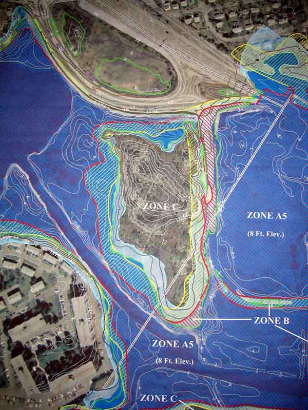
Floodplain Map from FEMA of GIS
(See also Belmont Research Group land swap position paper, 3/8/04) This a a photo of the MDC adjusted/comparison floodplain mapping for the Belmont Uplands DEIR area. Mostly of interest are areas where dark blue floodplain crosses the FEMA red line 100yr boundary, and where Light Blue areas exceed the yellow line FEMA 500yr floodplain. The old MDC skating rink, proposed as a land swap, is the circular enclosed land between Route 2 and pond area. Some non-essential items such as houses, streets and parkway are duplicated by accident. (this page created March 10, 2004) 
|